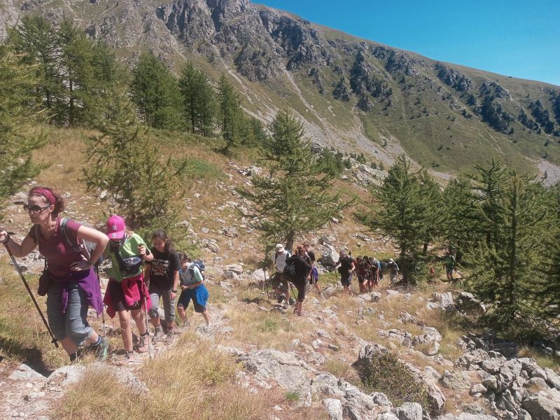
From simple walks to the most adventurous trekking routes, among mountains, nature and history.
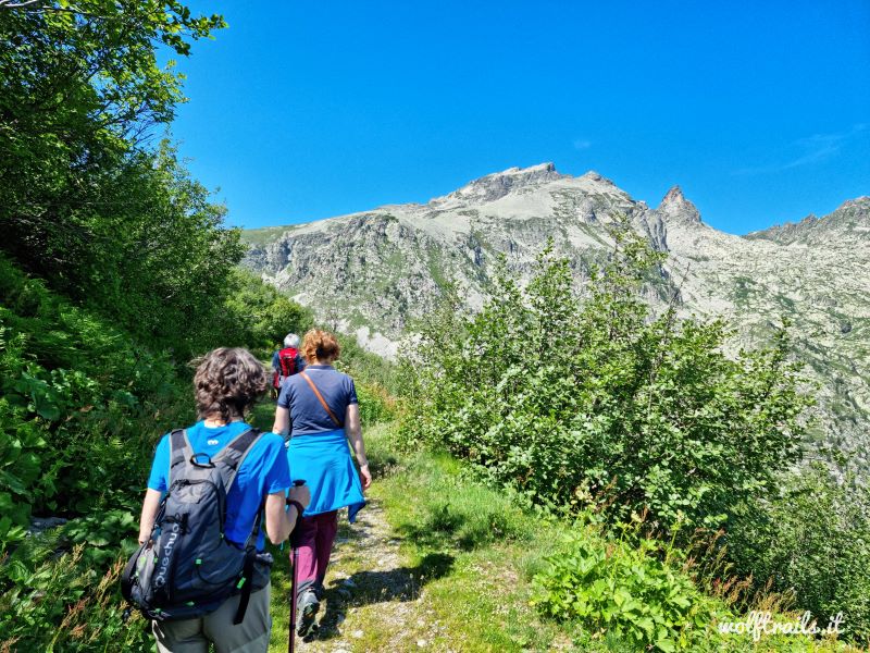
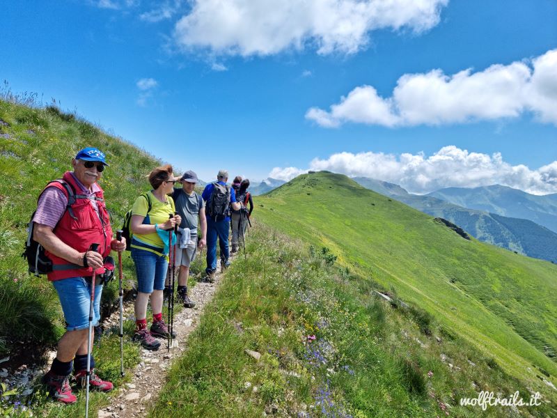
The paths around Limone develop along the grassy slopes with gentle slopes and ever-changing views. Suitable for all types of hikers - from families with children to the more adventurous trekker - they are well-maintained, well-marked and can be covered in absolute safety from spring to late autumn.
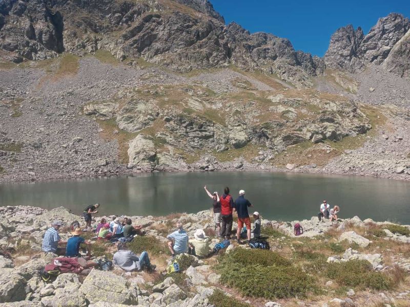
Each walk can be further enhanced by the evocative story of a nature guide, to transform the day in the open air into an opportunity to get to know the landscape, its many forms, its inhabitants and the hundreds of plants and flowers that color the nature around Limone Piemonte.
For those who want to learn more, the newsstands of Limone offer many publications and detailed maps of the territory and the surrounding valleys.
Not to be missed
Via Romana
The "Via Romana", which leads from Limone to Limonetto, is the perfect route for those who wish to take a simple walk, with a minimum difference in height, along the cool waters of the Vermenagna torrent and in the shade of the splendid tree-lined avenue. The complete itinerary reaches the pass of Colle di Tenda.
The forts of Colle di Tenda
Along the Italian-French watershed, sometimes half-hidden by vegetation, you will find imposing military buildings dating back to the late nineteenth century, which still dominate much of the summit of the Roya and Vermenagna valleys.
Vestiges of an outdated wartime past, they fit perfectly into the surrounding landscape: today they exert great charm, thanks to slits, ditches and high walls strictly in stone, with the typical forms of nineteenth-century military architecture, austere and fascinating at the same time.
The last echoes of centuries of struggles for control of the important route between lower Piedmont and France are today a relevant historical testimony and a great attraction for hiking.
The botanical path
The botanical trail is part of an itinerary that winds along the slopes of Mount Murin. The route is suitable for everyone, offering suggestive panoramic views and interesting indications on the local flora thanks to the botanical tables located on the route up to the ancient village of Tetti Veuva. In addition to the botanical observations, we propose the continuation of the pleasant walk around Mount Murin for a total length of about 5 km, an altitude difference of 300 meters and a walking time of about 2 hours, 1 hour for the botanical path only.
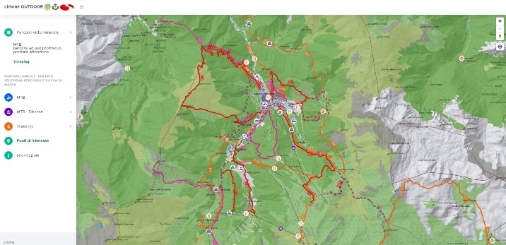
View the trekking and MTB trails on the interactive map: